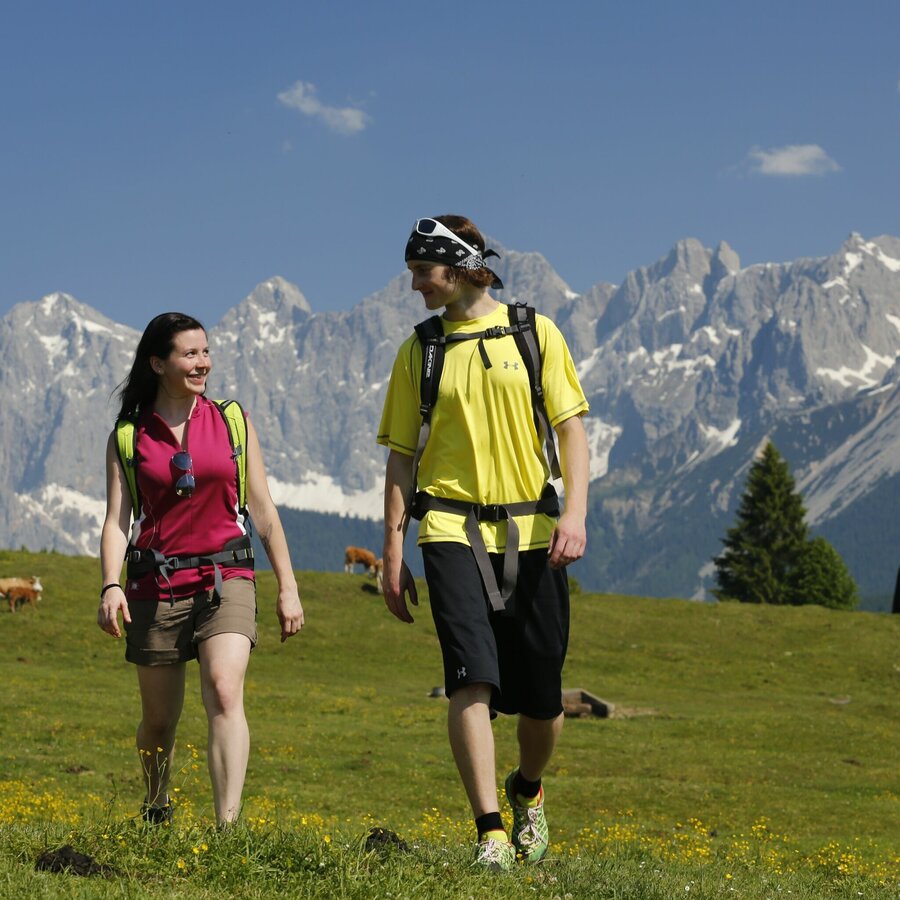
Panorama Trail 100 - stages south of the River Enns
średnio trudne Hiking · Schladming
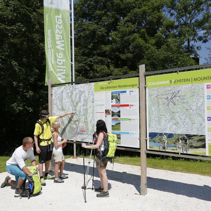
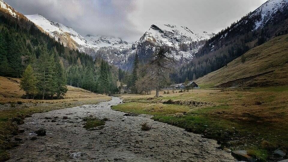
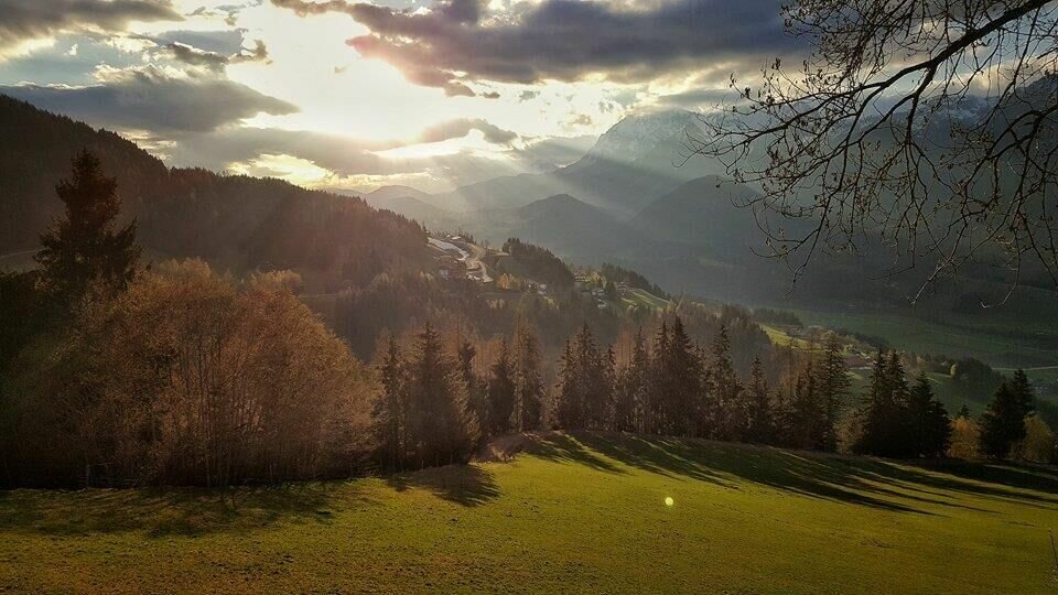
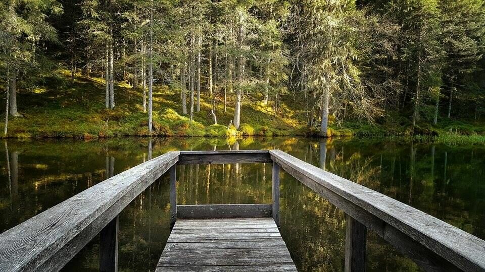
Galeria obrazów
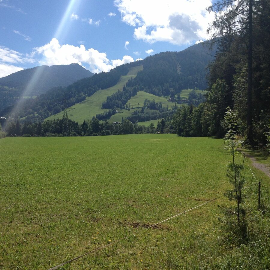
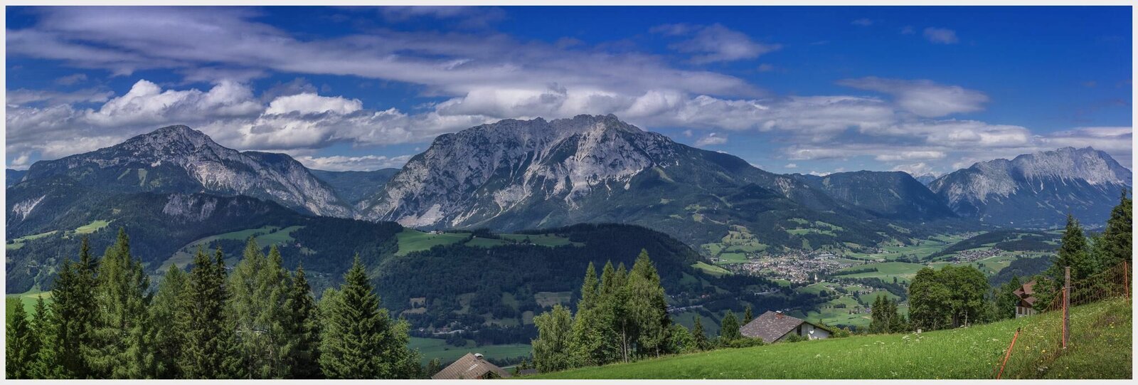


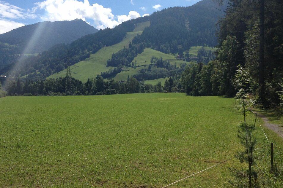
Stage 1 - easy - 5.5 hoursFrom Öblarn via Gatschberg and Stein an der Enns up to Michaelerberg
The first stage of the southern Panorama Trail 100 first takes us up the Enns valley quite easily. From Stein an der Enns our route starts to climb a little more, without any big difficulties though. Finally we reach the Michaelerberghaus.
Stage 2 - demanding - 8 hoursMichaelerberg - Sattental - Pirklalm - Seewigtal - Gumpenberg - Oberhausberg
This tour takes us by 3 beautiful side valleys of the Ennstal valley. From Michaelerberg to Gumpenberg we experience marvellous trails through gorges and over the meadows of mountain farms.
Stage 3 - easy - 4.5 hoursFrom Oberhausberg via Fastenberg to the village of Untertal
This day the Panorama Trail 100 takes us through the forests along the North flanks of the famous ski mountains Hauser Kaibling and Planai. Various times we walk across the ski slopes of Alpine World Cups and World Championships.
Stage 4 - easy - 4.5 to 5 hoursFrom the village of Untertal via Rohrmoos and Pichl to Mandling
Starting at the village of Untertal we first head towards Obertal for a short bit before we turn North towards Rohrmoos. We walk across the meadows of Rohrmoos' farms and along the North slopes of the ski mountain Hochwurzen head towards the Preuneggtal valley. Through the Strubschlucht gorge we then head down towards the village of Gleiming at the foot of Reiteralm. The last part of this days' hike takes us to Mandling. Note: Each stage gives you several different variants to choose from.
By Train
Regional train directly to Öblarn or via express train to Stainach-Irdning where you change to the regional train to Öblarn.Information and schedules at www.oebb.at
Changes in weather patterns, quick falls in temperature, thunderstorms, wind, fog and snow are some of the dangers that can be encountered on a hiking tour. Hosts of alpine huts and mountain refuges have a lot of experience in the mountains and can give good advice about weather and the trails. Poor equipment, overestimation of one's own capabilities, carelessness, poor personal constitution and/or wrong judgement can lead to critical situations. In case of thunderstorms: avoid summits, ridges and steel ropes.
GPS data and orienteering
Available GPS data - just like hiking maps - is only a guidance for orientation and can never depict a trail exactly with all its details. Especially at dangerous spots it is essential to judge on site how to proceed.
In an emergency please call:
- 140 - for Alpine emergencies (all over Austria)
- 112 - European GSM emergency number
Tourist information: www.schladming-dachstein.at
Information about bus schedules: www.postbus.at, www.rvb.at, www.planaibus.at
Hiking map Schladming-Dachstein, 1:50.000. Brochure to the package "hiking without luggage" on the Panorama Trail 100, available at the tourist office Schladming or Haus im Ennstal.


