Weißenbach - Luserwasserfall - Weißenbach
eenvoudig partially opened Water hikes · Haus-Aich-Gössenberg
Actuele omstandigheden
Vastgesteld op 16.04.24
The Goassweg (West) from the intersection below Rabingerhof 7/7A to the junction with Landesstraße Weißenbach is currently closed due to wind.
Tourkenmerken
Conditie
Techniek
Tourinformatie
Parcours: 6.45 km
Duur: 03:00 h
Beklimming: 273 m
Afdaling: 273 m
Beste jaargetijde
Januari
Februari
Maart
April
Mei
Juni
Juli
Augustus
September
Oktober
November
December
De tour
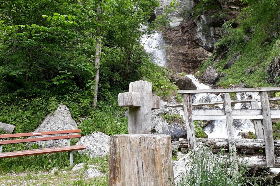
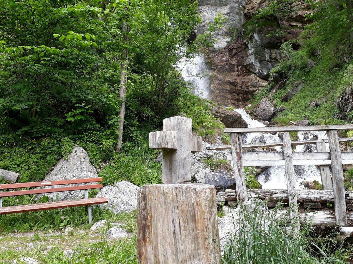
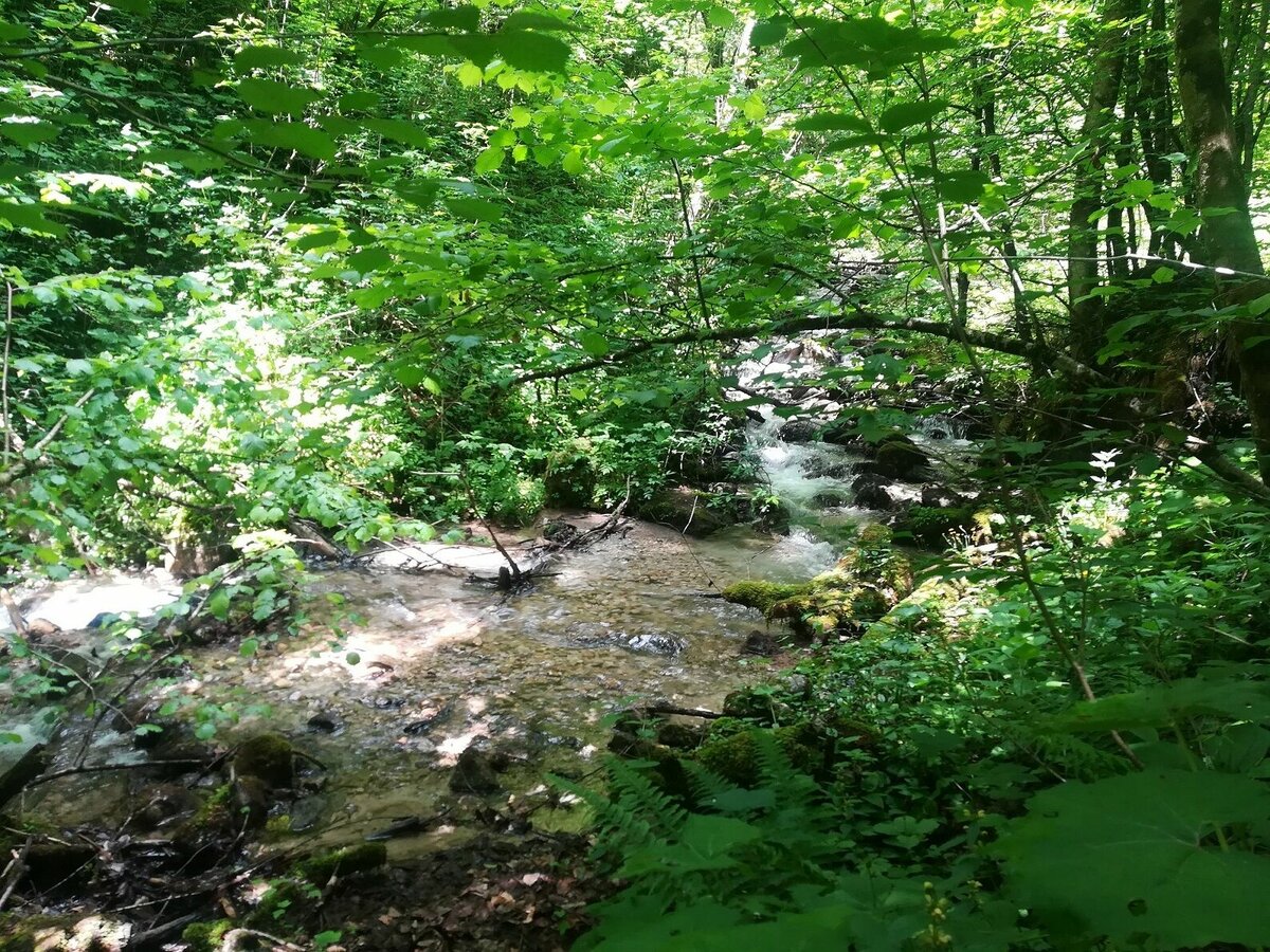
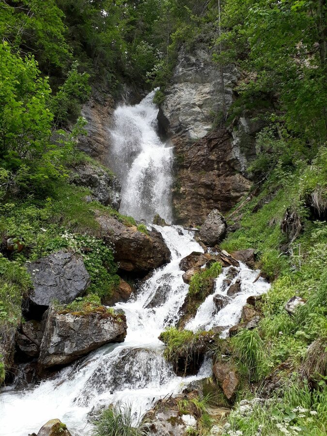
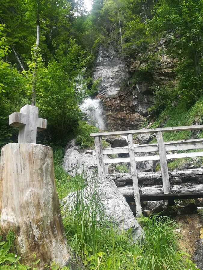
The hike to the Luserwaterfall is suitable for the whole family. However, please take extra care when walking the parts of the route on the Rössingstraße, because you walk along the road. The path along the brook and through the forest to the waterfall is especially appealing to children.
Fotogalerij


Nadere informatie
Routebeschrijving
From the village square in Weißenbach, head west along Rössingstraße to the Luserwasserfall junction. Follow the dirt road and follow the stream to the waterfall. Continue to Burgstaller and Rabingerhof along the dirt road back to Weißenbach.
Start
Ennstalbundesstraße (B320) - Haus im Ennstal - Weißenbach
during Austrian school hours: Postbus (L900)
Parkeren
village square Weißenbach
Start
Village square in Weißenbach
Bestemming
Village square in Weißenbach
Equipment
sturdy shoes, sticks if necessary
Tip van de auteur
You can also visit the prehistoric sites that are nearby. Additional time needed approx. 1 hour.
Overige informatie en links
Haus-Aich-Gössenberg hiking map
Dit kan ook interessant zijn voor u

Weersvooruitzichten
Datum kiezen
Rather cloudy in the morning, then sunny spells will develop gradually.
The day starts sunny, but will be partly cloudy in the afternoon.
The day starts sunny, but will be partly cloudy in the afternoon.


