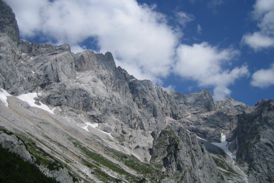
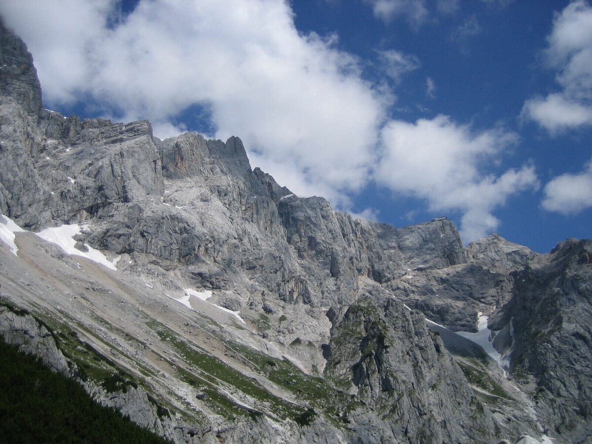
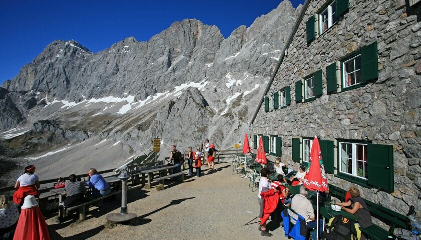
Tor Hike

moeilijk Hiking · Ramsau am Dachstein

Tourkenmerken
Conditie
Techniek
Tourinformatie
Parcours: 13.25 km
Duur: 05:30 h
Beklimming: 968 m
Afdaling: 968 m
Beste jaargetijde
Januari
Februari
Maart
April
Mei
Juni
Juli
Augustus
September
Oktober
November
December
De tour
The impressive south walls of the Dachstein, Mitterspitz and Torstein, make this an unforgettable tour. An alpine path leads you through gravel and forestry trails. 
Routebeschrijving
Starting at Neustattalm, the path follows through a larch forest to the Maralmboden and onto the Bachlalm. Partly over scree fields, the path leads up to the Tor, the natural notch between the Raucheck and Torstein mountains. A short, but steep descent along Pernerweg (path no. 617) passes Dachstein's south face along to the Südwandhütte. From there, make your way back down to the Dachstein gondola base station and follow the Dachstein road to your starting point.
Start

Arriving from the west:From the west you can take the Munich-Salzburg motorway, continuing on the Tauern motorway (A 10) until the Ennstal junction. From here take the Ennstal A-road (the B 320) for around 30 km into the Schladming-Dachstein region, then take the Ramsau am Dachstein turn-off.

Arriving from the north:From the south-east take the Pyhrnautobahn motorway (A 9) to the Liezen junction and then the Ennstal A-road (B 320) into the Schladming-Dachstein region. Then take the Ramsau am Dachstein turn-off.

Bus stop Walcheralm

See the timetables HERE

Parkeren
Start
Neustattalm
Bestemming
Neustattalm
Equipment
hiking boots and poles

Dit kan ook interessant zijn voor u

Weersvooruitzichten

Datum kiezen
's morgens
8°C
's middags
11°C
's avonds
9°C
Rain for most of the day, maximum intensities around noon.
's morgens
7°C
's middags
14°C
's avonds
11°C
Rather cloudy in the morning, then sunny spells will develop gradually.
's morgens
5°C
's middags
18°C
's avonds
13°C
The day starts sunny, but will be partly cloudy in the afternoon.

Vergelijkbare tours in de omgeving