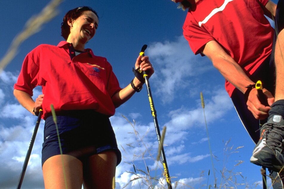
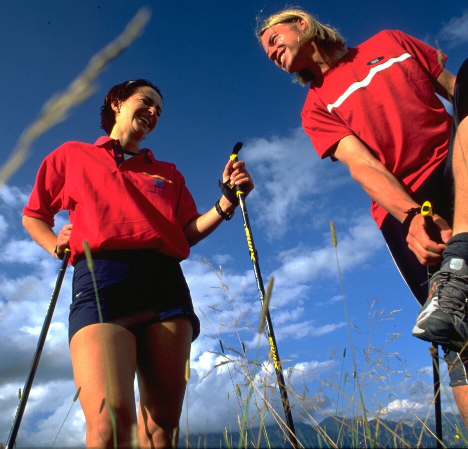
Forest Trail
gemiddeld Nordic Walking · Schladming
Tourkenmerken
Conditie
Techniek
Tourinformatie
Parcours: 14.3 km
Duur: 04:40 h
Beklimming: 381 m
Afdaling: 381 m
Beste jaargetijde
Januari
Februari
Maart
April
Mei
Juni
Juli
Augustus
September
Oktober
November
December
De tour
Hike through forest and for the most part along forest roads taking you to the "Gföll" between Planai and Hauser Kaibling mountains along the Dachstein-Tauern Panorama Trail 100.
Fotogalerij

Nadere informatie
Routebeschrijving
First take the Brandweg, then past the Schröckerhof and Asingerhof eastwards along Panorama Trail 100 through the forest where, after about 2 hours, you will reach the so-called "Gföllgraben". From there once again uphill to the Kemeterhof farm. Your return hike will backtrack along the same route. We would recommend bringing a small snack and drinks to enjoy along the way.
Start
Exit from federal highway B320 east of Schladming and continue via Planaistraße road to Fastenberg and hotel Poserhof.
The starting point cannot be reached with public transport.
Parkeren
Parking is available at hotel Poserhof.
Start
car park Poserhof, Fastenberg
Bestemming
car park Poserhof, Fastenberg
Veiligheid
Changes in weather patterns, quick falls in temperature, thunderstorms, wind, fog and snow are some of the dangers that can be encountered on a hiking tour. Hosts of alpine huts and mountain refuges have a lot of experience in the mountains and can give good advice about weather and the trails. Poor equipment, overestimation of one's own capabilities, carelessness, poor personal constitution and/or wrong judgement can lead to critical situations. In case of thunderstorms: avoid summits, ridges and steel ropes.
GPS data and orienteering
Available GPS data - just like hiking maps - is only a guidance for orientation and can never depict a trail exactly with all its details. Especially at dangerous spots it is essential to judge on site how to proceed.
In an emergency please call:
- 140 - for Alpine emergencies (all over Austria)
- 112 - European GSM emergency number
Equipment
Changes in weather patterns, quick falls in temperature, thunderstorms, wind, fog and snow are some of the dangers that can be encountered on a hiking tour. Hosts of alpine huts and mountain refuges have a lot of experience in the mountains and can give good advice about weather and the trails. Poor equipment, overestimation of one's own capabilities, carelessness, poor personal constitution and/or wrong judgement can lead to critical situations. In case of thunderstorms: avoid summits, ridges and steel ropes.
GPS data and orienteering
Available GPS data - just like hiking maps - is only a guidance for orientation and can never depict a trail exactly with all its details. Especially at dangerous spots it is essential to judge on site how to proceed.
In an emergency please call:
- 140 - for Alpine emergencies (all over Austria)
- 112 - European GSM emergency number
Tip van de auteur
Take along a snack! There are no refreshment stops along the way.
Overige informatie en links
Tourist information: www.schladming.com
- Hiking map Schladming, 1:25.000, available at the tourist office Schladming.
- Tourist map "Hiking - Running - Walking", available at the tourist office Schladming.
Weersvooruitzichten
Datum kiezen
The day will be dry, but mostly cloudy with occasional sunny spells.
Overcast throughout the day and frequent, but light rain.
Unsettled weather throughout the day with showers now and then.


