Karbach Walk
Walking paths · Schladming
Tour characteristics
Experience
Landscape
Tour-Infos
Distance: 2.31 km
Duration: 00:45 h
Ascent: 111 m
Descent: 111 m
Best time of year
january
february
march
april
may
june
july
august
september
october
november
december
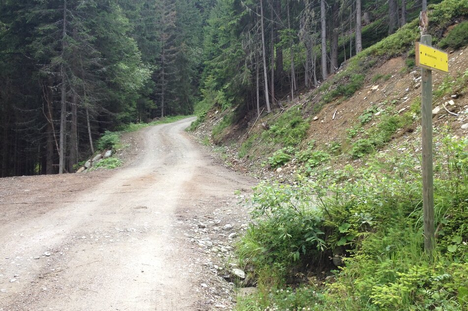
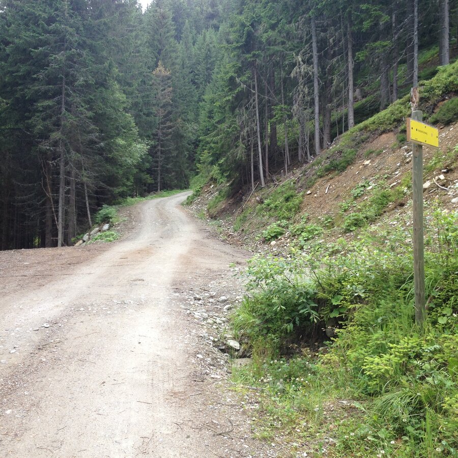
The tour
A short walk, suitable for prams, with starting point at the valley terminal of the Gipfelbahn Hochwurzen cable-car. Along forest roads you walk through the forest in the area above the valley terminal. Two times you also make your way across two mountain meadows (in the winter these are ski pistes), from where you have a nice view to Rohrmoos.
Gallery

More information
Turn-by-turn directions
From the hiking trail head you pass by the sport shop "Schi Lenz" and take the forest road. You follow this dirt road for about 700 m to the turn-off of Karbach Walk. You continue on a forest road and then make your way across a meadow (which is a ski piste in winter). You continue on the same road, cross another "ski piste" and reach the trail junction with the fairy-tale trail. Here you make a right and head back to your starting point.
Getting there
From Schladming take provincial highway L722 (Rohrmoosstraße road) to Rohrmoos and at the roundabout continue straight on until you reach the cable-car Gipfelbahn Hochwurzen.
With the Planai buses from Schladming (Planet-Planai, Lendplatz) or Rohrmoos (Rohrmoos-Zentrum) to the valley terminal of Gipfelbahn Hochwurzn - cable-car - bus stop "Gipfelbahn Hochwurzen".
- Buses of Planai-Hochwurzen-Bahnen: www.planaibus.at
Parking
Parking is available at the valley terminal of the cable-car.
Start
Hiking trail head, Hochwurzen valley terminal
Destination
Hiking trail head, Hochwurzen valley terminal
Security
Changes in weather patterns, quick falls in temperature, thunderstorms, wind, fog and snow are some of the dangers that can be encountered on a hiking tour. Hosts of alpine huts and mountain refuges have a lot of experience in the mountains and can give good advice about weather and the trails. Poor equipment, overestimation of one's own capabilities, carelessness, poor personal constitution and/or wrong judgement can lead to critical situations. In case of thunderstorms: avoid summits, ridges and steel ropes.
GPS data and orienteering
Available GPS data - just like hiking maps - is only a guidance for orientation and can never depict a trail exactly with all its details. Especially at dangerous spots it is essential to judge on site how to proceed.
In an emergency please call:
- 140 - for Alpine emergencies (all over Austria)
- 112 - European GSM emergency number
Equipment
Changes in weather patterns, quick falls in temperature, thunderstorms, wind, fog and snow are some of the dangers that can be encountered on a hiking tour. Hosts of alpine huts and mountain refuges have a lot of experience in the mountains and can give good advice about weather and the trails. Poor equipment, overestimation of one's own capabilities, carelessness, poor personal constitution and/or wrong judgement can lead to critical situations. In case of thunderstorms: avoid summits, ridges and steel ropes.
GPS data and orienteering
Available GPS data - just like hiking maps - is only a guidance for orientation and can never depict a trail exactly with all its details. Especially at dangerous spots it is essential to judge on site how to proceed.
In an emergency please call:
- 140 - for Alpine emergencies (all over Austria)
- 112 - European GSM emergency number
The trail is also suitable for prams.
Tips, hints and links
Tourist information: www.schladming.com
Information about bus schedules: www.planaibus.at
- Hiking map Schladming, 1:25.000, available at the tourist office Schladming.
- Tourist map "Hiking - Running - Walking", available at the tourist office Schladming.
You might also be interested in...

Weather forecast
Date
Showers will die away soon to leave a bright day with plenty of sunshine.
Fairly sunny with scattered clouds. Showers will be possible towards evening.
Starting fair, then increasing cloudiness and possibly showers towards evening.


