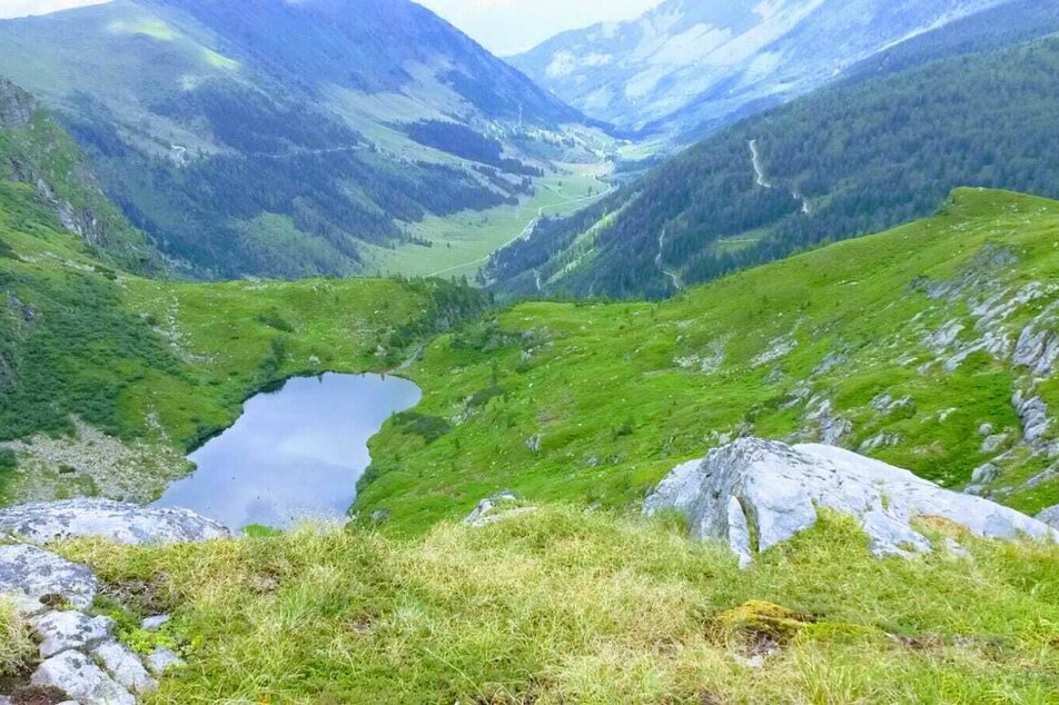
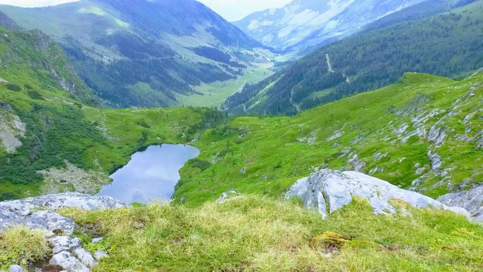
Stierkarsee

střední Hiking · Gröbminger Land

Vlastnosti túry
Vhodnost
Zážitek
Krajina
Informace o túře
Trasa: 12.84 km
Doba trvání: 5.12 h
Výstup: 1099 m
Sestup: 1099 m
Nejlepší roční období
Leden
Únor
Březen
Duben
Květen
Červen
Červenec
Srpen
Září
Říjen
Listopad
Prosinec
Túra
From the car park you hike to the end of the valley, past original rustic alpine huts along the stream. At first there are gravel paths and alpine meadows, but soon the path leads over a large scree field to a small bridge where two mountain streams meet. In the middle the path continues, steeply up through the high forest until you reach the timberline and stand in front of a mountain basin. The path then continues steeply uphill on the right hand side and after a short time you reach the Stierkarsee. In a small valley basin, the lake and its alpine meadows around it invite you to stay. The Hohe Wildstelle is enthroned above it, and a hike further to the Goldlacken is highly recommended.
Popis trasy
Vom Parkplatz wandert man zum Talschluss, vorbei an originellen urigen Almhütten den Bach entlang. Sind es zuerst noch Schotterwege und Almwiesen, führt der Weg bald über ein großes Geröllfeld bis zu einer kleinen Brücke wo sich zwei Gebirgsbäche treffen. In der Mitte geht der Weg weiter, steil hinauf durch den Hochwald bis man die Waldgrenze erreicht und vor einem Bergkessel steht. Es geht dann rechter Hand noch ein kurzes Stück steil bergauf und man erreicht nach kurzer Zeit den Stierkarsee. In einem kleinen Talkessel liegt der See und seine Almwiesen rund herum laden zum Verweilen ein. Von dort aus verlocken die Goldlacken, eine Ansammlung kleiner Seen und laden zum Weitergehen auf die Hochwildstelle, dem höchsten Berg der Steiermark ein. 
Začátek
Parkplatz Sattental
Cíl
Parkplatz Sattental
Zabezpečení

Weather changes, rapid drop in temperature, thunderstorms, wind, fog and snowfields are objective dangers and require the right behaviour on the way. Hut hosts are experienced mountain experts, they can give good tips about the weather and the route. Lack of equipment, overestimation of one's own abilities, carelessness, poor physical condition and a wrong assessment can lead to critical situations.

In case of thunderstorms: Avoid summits, ridges and ropes at all costs

In an emergency, please dial the following emergency numbers: 

140 - Mountain Rescue

112 - Euro emergency call

sturdy shoes, rain protection, hiking sticks if necessary

Předpověď počasí

Vybrat datum
ráno
13°C
v době oběda
19°C
večer
15°C
Early clouds will clear to leave the region with a dry and sunny day.
ráno
8°C
v době oběda
9°C
večer
9°C
Throughout the day more and more rain with hardly any breaks.
ráno
8°C
v době oběda
15°C
večer
13°C
Showers will die away soon to leave a partly sunny day.

Podobné túry v oblasti